Support
Support options are not detailed on the homepage. Documentation is available via a separate portal, and the team can be contacted through a form for project inquiries.
GeoAI for environmental monitoring and compliance

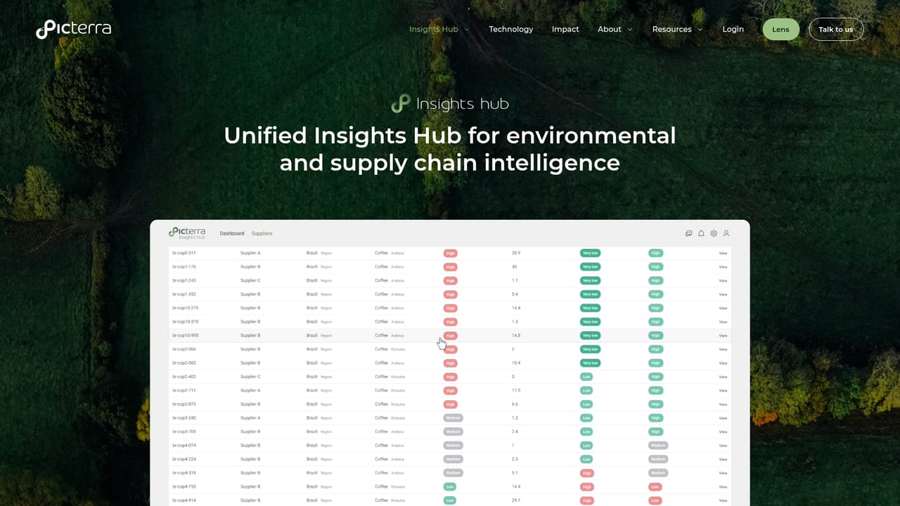
Picterra is a GeoAI analytics platform that transforms satellite and aerial imagery into plot-level environmental intelligence for sourcing, compliance, and sustainability teams. It helps organizations monitor deforestation, soil health, and land use at scale, with customers managing hundreds of thousands of plots and millions of hectares.
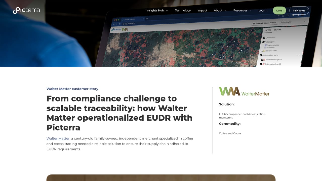
Picterra is a GeoAI platform that turns satellite and aerial imagery into decision-ready intelligence for environmental and sourcing teams. At its core, the product ingests geospatial data and applies machine learning to detect land use changes, deforestation risk, soil health indicators, and compliance signals at plot level. The output is a single intelligence layer that sits alongside existing ESG, supplier, and farm records, helping organizations move from fragmented spreadsheets and reactive monitoring to scalable, near real-time oversight. The platform is built for sustainability, sourcing, and compliance teams in industries such as agriculture, forestry, and consumer goods. Customers like Walter Matter use it to analyze over 500,000 plots for deforestation risk and EUDR compliance, while the Rural Payment Agency monitors more than 130,000 km² of land to validate sustainable practices. BAT relies on Picterra to reach over 90,000 contracted farmers with soil health and erosion monitoring. These examples show how the tool fits into high-stakes workflows where verifiable geospatial evidence matters. In practice, users connect Picterra to their existing data sources, define areas of interest, and let the platform's models surface risks and opportunities. The technology stack includes Picterra Forge for model building, Picterra Tracer for traceability, and Picterra Accelerate for scaling analysis across large geographies. Integrations with common enterprise systems mean insights can flow into the tools teams already use. The platform is web-based and designed for analysts and managers who need to prioritize actions based on reliable, plot-level observations. Among alternatives, Picterra distinguishes itself by focusing on environmental intelligence rather than general-purpose GIS. It competes with traditional remote sensing software and custom AI models by offering a packaged solution that combines detection algorithms with workflow tools for sourcing and compliance. Pricing is not publicly listed, and the platform is primarily aimed at organizations with substantial land monitoring needs rather than individual users.

Support options are not detailed on the homepage. Documentation is available via a separate portal, and the team can be contacted through a form for project inquiries.
Picterra offers integrations to connect with existing ESG, supplier, and farm data systems, as described on its integrations page. Specific integration partners and methods are detailed there.
Learn morePicterra provides GeoAI analytics for environmental monitoring, including detection of land use changes, deforestation risk, soil health, and compliance signals. The platform includes Picterra Forge for building custom models, Picterra Tracer for traceability, and Picterra Accelerate for scaling analysis. It augments existing ESG and supplier data with near real-time geospatial intelligence and prioritizes actions based on verifiable evidence.
Learn more AI Angels400+ customizable AI girlfriends for NSFW chat, voice calls, and roleplay
 Candy AIExperience the future of companionship with AI friends who chat, role-play, and connect with you on a human level.
 ourdream.aiA vast AI roleplay platform with millions of characters for chat, images, video and voiceAI Angels400+ customizable AI girlfriends for NSFW chat, voice calls, and roleplayCandy AIExperience the future of companionship with AI friends who chat, role-play, and connect with you on a human level.ourdream.aiA vast AI roleplay platform with millions of characters for chat, images, video and voice


