What these tools do
Map labelling tools take geographic material (satellite and aerial imagery, vector data, model output) and attach the labels that make it legible: place names, boundaries, property attributes, land use classes. The work used to fall to GIS specialists with desktop software and long manual passes. These tools compress that into assisted workflows, so a researcher documenting a study area, an analyst auditing a portfolio or a journalist pinning events can label this map without a cartography background. The output is a labelled layer that others can read and check.
How to choose one
Start with what the map is made of. If your source is fresh aerial imagery, imagery providers with built-in property analytics matter more than general models. If your map is a reasoning task (what is here, how much, where does this pattern hold), a geospatial model that answers questions over the planet is the better fit. If the labels have to live inside a coding assistant, pick the option that teaches that assistant to draw real maps. Then check three things: the label types you need (names, parcels, classes), whether labels come with confidence you can audit, and licensing. Government and academic maps need clean provenance; commercial property work needs current imagery. Price follows access to the source data more than the labelling interface.
Notable tools
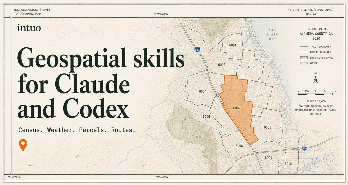
Google Earth AI pairs Google's geospatial models with Gemini reasoning for planet-scale questions, useful when labelling starts from a question rather than a blank canvas. Nearmap supplies aerial imagery and AI property analytics for insurance, AECO and government teams, with analytics built for those industries. Intuo offers geospatial skills that teach Claude and Codex to draw real maps, a fit for labelling that happens inside a coding assistant.
Common questions
What is a map labeller for?
A map labeller is the tool or workflow that assigns labels to geographic data: names, boundaries, property attributes, land classes. People use one when a raw image or dataset needs to become a map others can read without asking what each shape means. The labels are the product, not a side effect.
How do I label this map quickly?
Decide first whether the labels come from imagery, from existing vector data or from a model's reasoning over both. Imagery providers handle parcels and roofs; reasoning models handle questions about places and patterns. Match the tool to the source, then check the labels before publishing, since assisted labelling always carries errors worth a second pass.
Does map labelling need GIS skills?
Less than it used to. The assisted tools here assume a user who can define the task and judge the output, not one who edits geometry by hand. Some familiarity with coordinate systems and layers still helps when the output feeds a formal study or a property record.
When to look elsewhere
If the task is finding where a photo was taken rather than labelling a map, Image Geolocation is the closer category. For locating people through open sources, see Deep Search People.